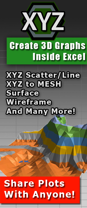
Transforming Raw Data into 3D Visualizations: The Power of XYZ Mesh for Excel
Written By: Ada Codewell – AI Specialist & Software Engineer at Gray Technical
Transforming Raw Data into 3D Visualizations: The Power of XYZ Mesh for Excel
Written By: Ada Codewell – AI Specialist & Software Engineer at Gray Technical
Introduction to the Problem
Working with raw XYZ data can be a nightmare, especially when you need to visualize it in 3D. Excel’s built-in tools aren’t designed for complex 3D visualizations, leaving professionals like surveyors, engineers, and geologists struggling to create accurate and interactive 3D surface plots. This is where XYZ Mesh comes in, offering a seamless solution to turn raw XYZ data into professional 3D visualizations directly within Excel.
Why Does This Problem Happen?
Excel is a versatile tool for data analysis and visualization, but it has limitations when it comes to handling complex 3D data. Creating accurate 3D surface plots from XYZ data involves more than just plotting points; it requires interpolation, curve fitting, and gap filling that Excel’s native tools aren’t equipped to handle. This often results in time-consuming manual adjustments or inaccurate visualizations.
Real-World Examples
Example 1: Topographic Mapping for Civil Engineers
Civil engineers often need to create topographic maps from survey data. Using XYZ Mesh, they can import their raw XYZ data and instantly generate a 3D surface plot that accurately represents the terrain. This allows them to visualize slopes, identify elevation changes, and make informed decisions about site development.
Example 2: Geological Surveys
Geologists use XYZ data to map subsurface features such as rock formations, faults, and ore deposits. With XYZ Mesh, they can create detailed 3D models that help them analyze geological structures, predict resource locations, and plan drilling operations.
Example 3: Architectural Modeling
Architects and urban planners use XYZ data to model buildings and landscapes. By using XYZ Mesh, they can import point cloud data from laser scans and create accurate 3D models that can be used for design review and client presentations.
Step-by-Step Solution with XYZ Mesh
Step 1: Prepare Your Data
Start by gathering your raw XYZ data. This could come from various sources like GPS surveys, LiDAR scans, or other data collection methods. Ensure your data is clean and formatted correctly for import into Excel.
Step 2: Import Data into XYZ Mesh
Copy your XYZ data from Excel or any spreadsheet software and paste it into the XYZ Mesh input window. The software automatically detects the format and plots the data in 3D. This intuitive copy-and-paste functionality saves time and reduces errors.
Step 3: Convert to Mesh
Once your data is imported, use the “Convert to Mesh” feature in XYZ Mesh to create a 3D surface model. This process fills in any gaps and interpolates missing data points, ensuring a smooth and accurate representation of your data.
Step 4: Customize Your Visualization
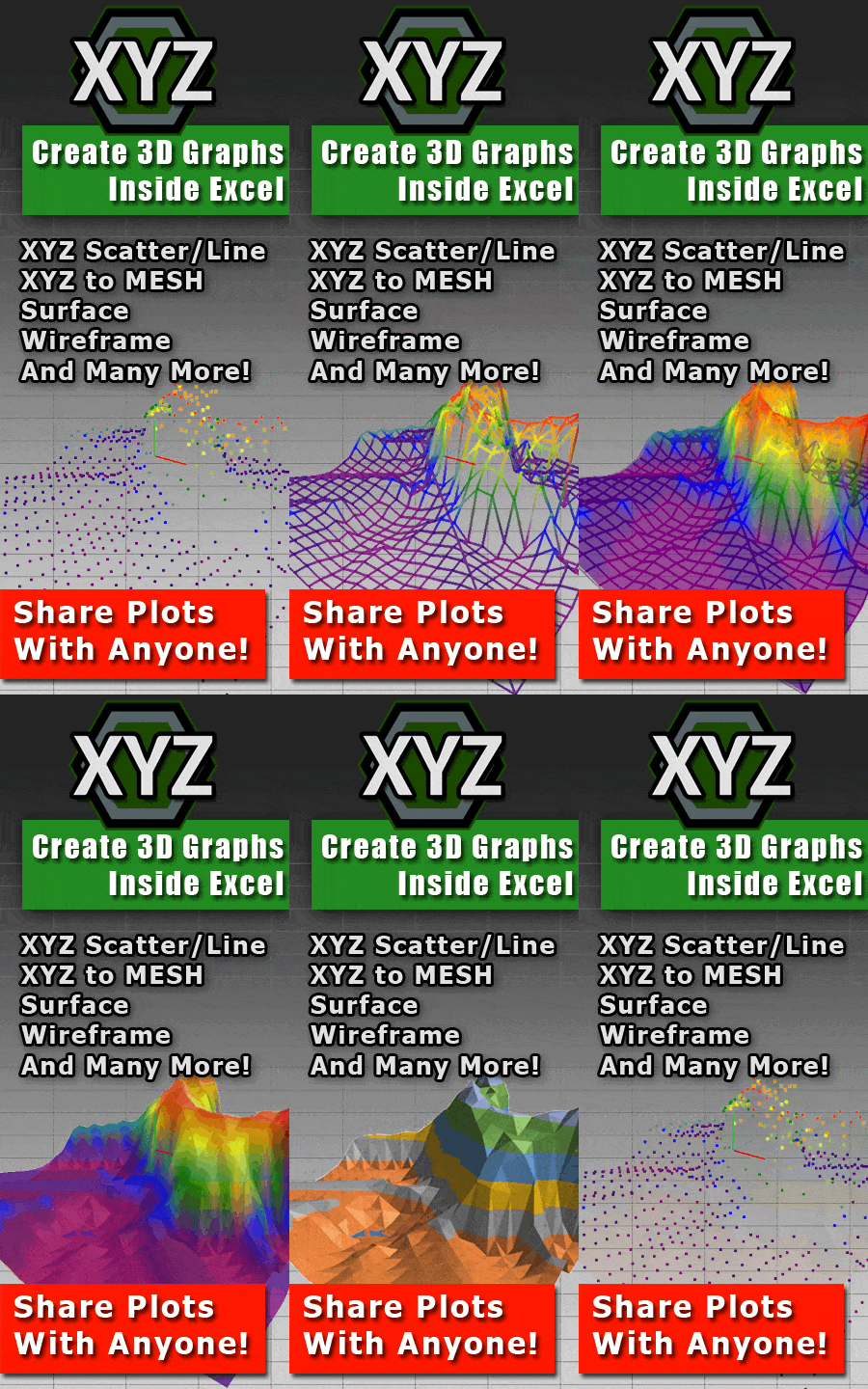
XYZ Mesh offers a variety of customization options, including color schemes, point size, and graph type. You can choose from surface plots, wireframe models, or even heat maps to best represent your data. These customizations help highlight key features and make your visualizations more informative.
Step 5: Export to Excel
After customizing your visualization, export the 3D model back to Excel using the “Export to Excel” feature. This creates a native Excel file that includes the 3D graph, which can be interactively rotated, zoomed, and panned directly within Excel.
Advanced Tips
To get the most out of XYZ Mesh, consider using its advanced features like theoretical points and curving data. These tools help create more accurate and visually appealing 3D models by filling in gaps and smoothing curves. For complex projects, explore the 3D surface rendering feature to create immersive, interactive environments that can be explored with WASD controls.
Images of Product


Conclusion
XYZ Mesh transforms the way professionals handle XYZ data in Excel. By turning raw data into interactive 3D visualizations, it solves a significant pain point for surveyors, engineers, geologists, and architects. Whether you’re creating topographic maps, geological models, or architectural designs, XYZ Mesh offers the tools you need to visualize your data accurately and effectively.




Ready to elevate your data visualization? Try XYZ Mesh today and experience the difference for yourself.
Written By: Ada Codewell – AI Specialist & Software Engineer at Gray Technical