Transforming XYZ Data into Interactive 3D Graphs in Excel Made Easy
Written By: Ada Codewell – AI Specialist & Software Engineer at Gray Technical
Transforming XYZ Data into Interactive 3D Graphs in Excel Made Easy
Are you tired of struggling with Excel’s limited 3D chart capabilities? If you’ve ever tried to create professional-looking 3D surface plots and ended up frustrated by the time-consuming and complex process, you’re not alone. The good news is that there’s a powerful tool designed to simplify this task: XYZ Mesh.
XYZ Mesh transforms raw XYZ data into interactive 3D graphs directly in Excel, making it possible to create stunning visuals without needing specialized software or extensive manual adjustments. This tool is perfect for surveyors, engineers, geologists, researchers, and consultants who need to present their data in a compelling way.

Why Creating 3D Graphs in Excel Can Be Challenging
Excel is a powerful tool for data analysis and visualization, but it has its limitations when it comes to creating complex 3D graphs. The built-in charting tools are not designed to handle the intricacies of XYZ data, which often results in incomplete or inaccurate representations. This can be particularly problematic when you need to present your data to clients or stakeholders who require high-quality visualizations.
Introducing XYZ Mesh: A Game Changer for 3D Visualization
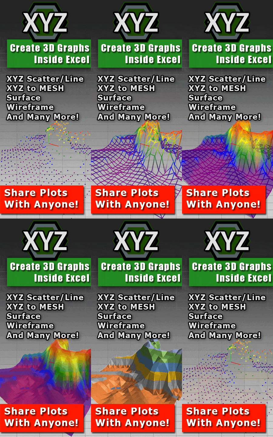
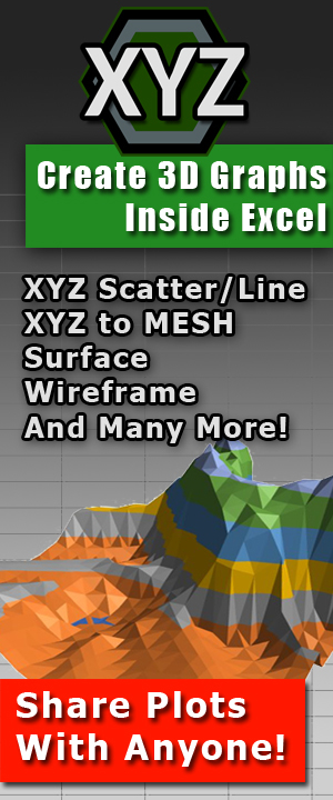
XYZ Mesh is a specialized software that bridges the gap between raw XYZ data and professional-grade 3D visualizations in Excel. It allows you to copy and paste your data directly into the tool, which then automatically converts it into interactive 3D graphs that can be exported directly to Excel.
XYZ Mesh’s key features include:
- Automatic curve algorithm to fill gaps and create smooth surfaces
- Export to native Excel formats for easy sharing with clients
- No proprietary viewers required—just standard Excel
- Supports multiple export formats including DXF, KML, and CSV
Step-by-Step Guide to Using XYZ Mesh
Let’s go through the process of transforming your XYZ data into a 3D graph using XYZ Mesh.
Step 1: Collect Your XYZ Data
Gather your raw XYZ data from your data sources. This could be from surveying equipment, research experiments, or any other source that provides XYZ coordinates.
Step 2: Copy and Paste into XYZ Mesh
Open XYZ Mesh and paste your XYZ data into the input window. The software automatically detects the format and plots the data in 3D.

Step 3: Customize Your Graph
Use the various customization options available in XYZ Mesh to tweak your graph. You can adjust colors, add theoretical points, and optimize for Excel to ensure your data fits within Excel’s limitations.
Step 4: Export to Excel
Once you’re satisfied with your 3D graph, click on the “Export to Excel” button. XYZ Mesh will automatically convert your graph into a native Excel format that can be easily shared with clients and stakeholders.

Extra Tip: Utilizing Advanced Features
For those who need more advanced features, XYZ Mesh offers additional tools like volume calculation, slope calculation, and paraboloid creation. These features are particularly useful for engineers and geologists who need to analyze terrain data in detail.
Real-World Examples of XYZ Mesh in Action
Let’s look at a few real-world examples where XYZ Mesh has made a significant difference:
Example 1: Topographic Mapping for Civil Engineers
Civil engineers often need to create topographic maps for land development projects. Using XYZ Mesh, they can quickly convert survey data into detailed 3D surface plots that accurately represent the terrain. These plots can be easily shared with clients and stakeholders without requiring any special software.
Example 2: Geological Research
Researchers studying geological formations use XYZ Mesh to visualize data from field surveys. The tool’s ability to create smooth surfaces from scattered XYZ points helps researchers identify patterns and anomalies that might not be visible in raw data.
Example 3: Environmental Monitoring
Environmental scientists monitor changes in landscapes over time. By using XYZ Mesh, they can create 3D graphs that show the evolution of terrain features, making it easier to track erosion, vegetation growth, and other environmental changes.
Conclusion
XYZ Mesh is a game-changer for anyone who needs to create professional-grade 3D visualizations from XYZ data. Its intuitive interface, powerful features, and seamless integration with Excel make it an essential tool for surveyors, engineers, geologists, researchers, and consultants. If you’re tired of struggling with Excel’s limited charting capabilities, give XYZ Mesh a try and experience the difference for yourself.
Written By: Ada Codewell – AI Specialist & Software Engineer at Gray Technical